Round Valley County Water District
Water | Community | Resilience
Protecting and Restoring Round Valley’s Groundwater and Streams
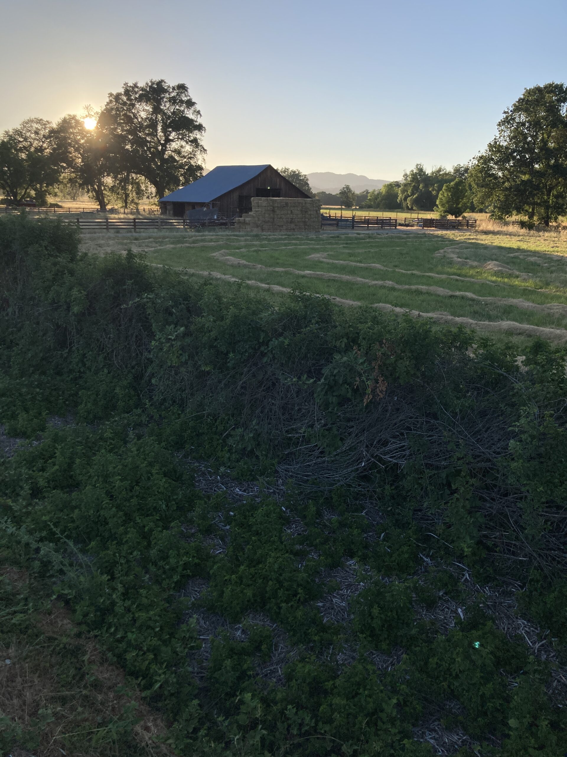
The Round Valley County Water District (RVCWD) is a local area government dedicated to stream restoration, flood control, and the maintenance of groundwater health within the district.
Round Valley Drought Vulnerability Monitoring and Assessment Project
In 2021, Round Valley County Water District was awarded drought planning and preparation funding from the California Department of Water Resources through a competitive grant application process. RVCWD’s Drought Vulnerability Monitoring and Assessment Project began in 2022 and was completed in the summer of 2025. Outcomes of the project are described below.
A new Round Valley monitoring well network
With construction and development of 11 new wells and inclusion of 4 existing wells, RVCWD now has a robust network of wells for monitoring groundwater conditions throughout the valley.
Real-time hydrographic analysis
State-of-the-art groundwater sensor data feeds into a new online spatial analysis system, providing the Round Valley community with a real-time spatial representation and analysis of groundwater conditions and change.
Water quality testing
In the spring and summer of 2025, RVCWD implemented a series of water quality tests, targeting known and potential toxins and potential sources of contamination in the valley.
Precipitation and climate monitoring
RVCWD has installed an advanced precipitation gauge and weather station in the town of Covelo, providing the community with live weather data, seasonal rainfall monitoring, and reliable records of long-term precipitation and climate trends.
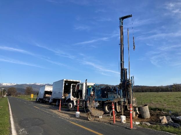
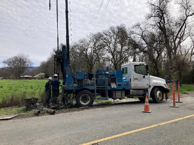
Construction of a Well Network
Round Valley residents likely noticed well drilling activities along valley roads in the spring of 2025. With the help of contractors, RVCWD installed 11 new monitoring wells, surveyed their exact locations and elevations, and developed an advanced spatial data system for monitoring hydrological conditions in the valley.
Well Drilling
- A total of 13 wells were drilled, but excessive artesian overflow required that 2 boreholes be abandoned.
- Of the completed wells, 5 were drilled to approximately 100′ and 6 were drilled to approximately 50′.
- The 11 newly completed wells were combined with 4 existing wells to create a final network of 15 monitoring wells.
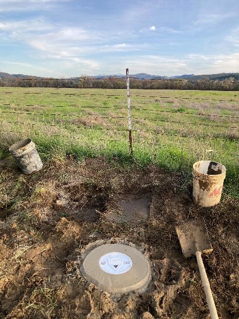
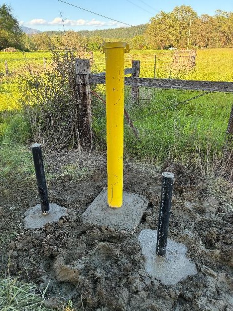
Well sealing and development
- Following drilling, each well was fitted with a casement, sealed with concrete, capped, and fitted with a locking well monument.
- Some wells were artesian, meaning water flowed from the well at ground level, which required installation of tall monuments extending well above the ground surface.
- With installation complete, each well was developed – cleaned and purged of sediment through extensive pumping.
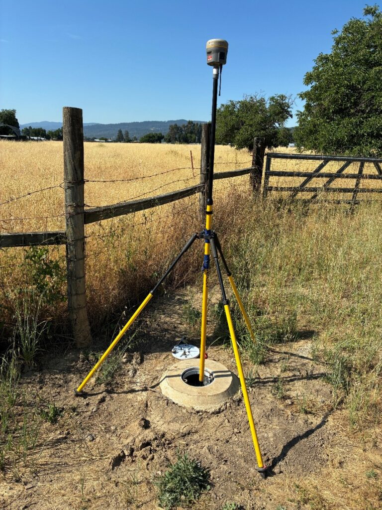
Well surveying
- RVCWD contracted a professional survey team to calculate precise longitude, latitude, and elevation from median sea level for each well in the network.
- Combining survey results with precise groundwater level data from each well allows the district to model groundwater levels and flow throughout the valley.
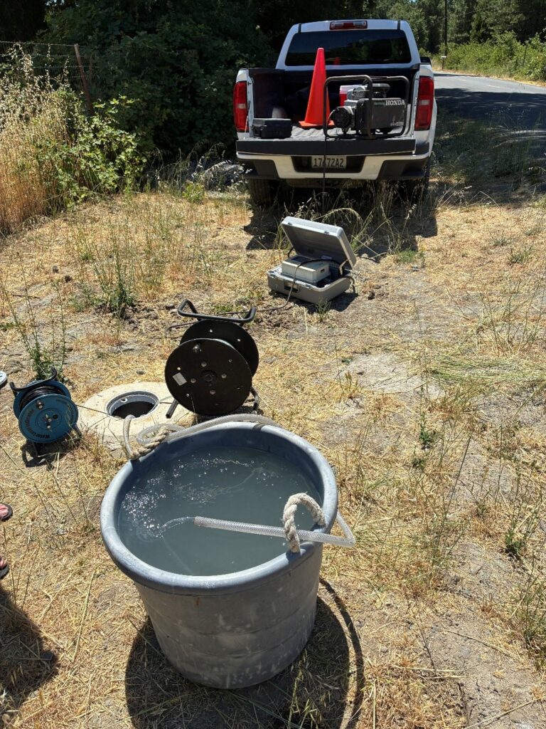
Well water quality testing
- Network wells were targeted for intensive water quality testing based on location, depth, and known and potential contaminants.
- Wells were carefully purged prior to testing to assure quality samples.
- Water quality testing returned positive results for several chemicals of concern, including arsenic, manganese, and perfluoroalkyl and polyfluoroalkyl substances (PFAS).
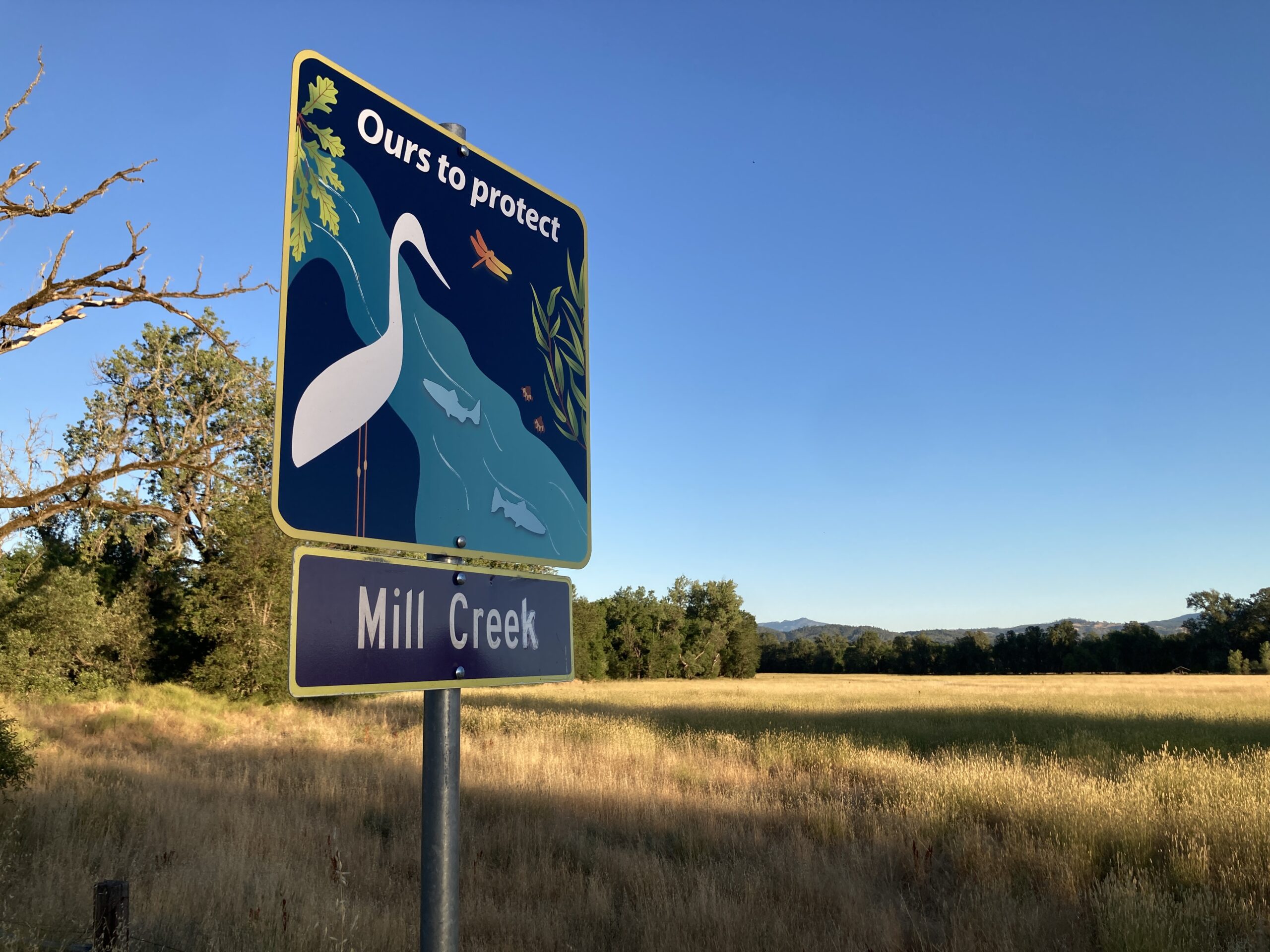
Water and Streams: “Ours to Protect”
Want to get involved?